Long day. Good fun.
Only short-in-stature, challenged-in-draft vessels can navigate the intracoastal waterway protected by the Jersey Shore’s barrier islands. Unlike the ICW south from Norfolk, VA the New Jersey segment is very shallow and the fixed bridges that cross it are shorter than the 65 ft standard. So real boats need to head out into the Atlantic at Sandy Hook and sail offshore to Cape May, a distance of about 120 nm. There are a few inlets in between that can be used to break up the trip (notably Atlantic City) — but we chose to press on and get it done in one 24-hour period.
Friday afternoon we filled the fuel tank, refilled the snack locker, and gave the engine a thorough checkup. On Saturday morning we left the Atlantic Highlands boat basin at dawn. It took more than two hours to navigate north around Sandy Hook, into the Atlantic, and then back south along the beach to the latitude of our starting point. There were lots (LOTS) of little fishing boats for the first few hours. I didn’t see anyone actually catch anything, but from the volume and diversity of boats (and the salty language on the radio) you could tell these folks were serious about their sport.
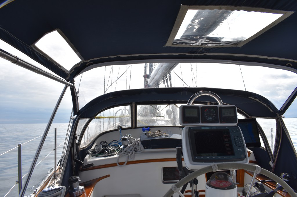
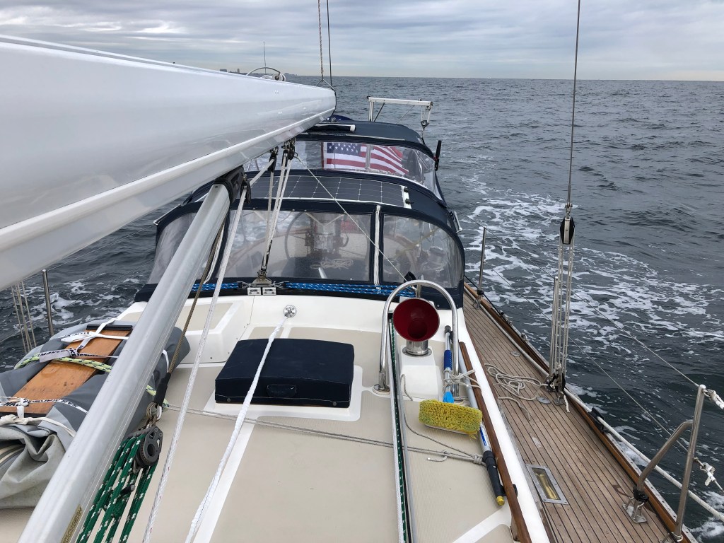
Weather conditions were generally good with a few clouds and a light drizzle in the morning. A few scattered showers were predicted for the evening. It was cool enough and with enough rain potential that I put up the bimini to provide a windbreak and keep the cockpit somewhat dry. And I bundled up too.
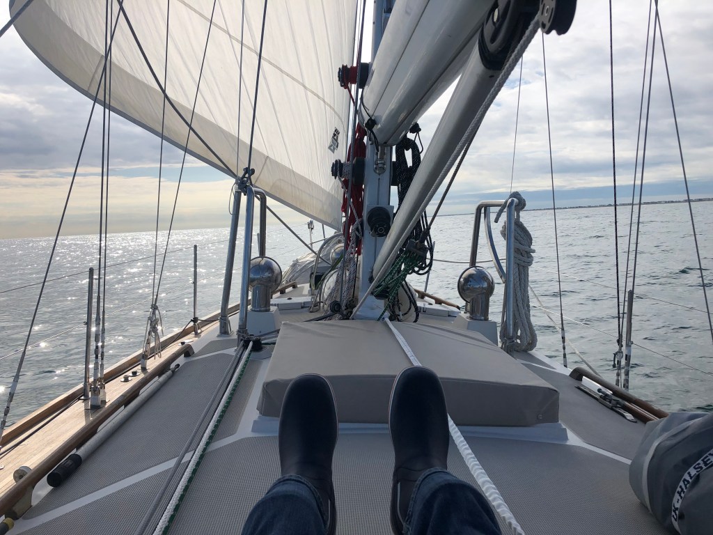
Winds were light and from behind. On a flat sea we probably could have sailed the whole way but with a 2-3 foot quartering swell we were rolling and the sails were not effective on their own. So the engine ran for the first half of the trip to keep us moving at a reasonable pace. The genoa did help stabilize the boat as long as there was enough wind to keep it full. To escape the noise and smell I spent time forward of the cockpit as conditions allowed.


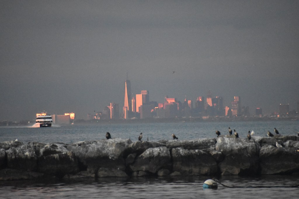
The Jersey shore is not particularly photogenic from 1-2 miles offshore. In some areas there were lots of little cottages and families at the beach, in others the entire beachfront looked commercial. Each of the towns was different, none more so than Atlantic City. The high-rise buildings were visible from more than 20 miles away in daylight and the gaudy lights further still after dark.
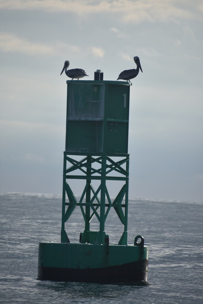
With the glassy conditions I was disappointed to see no whales. But I was ecstatic to see some brown pelicans. These are generally warm-climate birds that migrate to the mid-Atlantic states in summer and are very rarely seen as far north as Cape Cod. More evidence that we are making significant progress southward.

An afternoon rain shower provided some interesting colors. The full rainbow was visible but I was unable to get a photo of the complete arch as my camera lens wasn’t wide enough.


Right around sunset the wind picked up as a few more small storms passed over us This let us shut down the engine and sail for the second half of the trip. It was glorious cruising along at 7 kts on a starry, moonlit night.


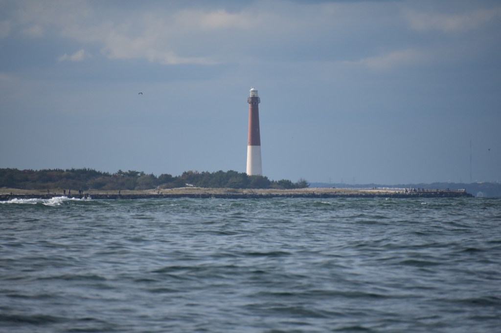
Cape May is a well-protected harbor with an easy-to-navigate inlet. Which is good, because I had to navigate it at 0400 this morning after 22 hours of sailing. Fortunately there was still some moonlight. And also GPS. And radar. And a very effective range. And lighted channel markers. And I had studied other accounts of finding the anchorage in the dark. So using just those few tools we found a nice spot to anchor just off the beach adjacent to the Coast Guard training facility. And then went to bed.


From Cape May the fundamental routing decision is whether to continue south on the outside to Norfolk, or head inshore up the Delaware Bay, across the C&D Canal, and down the Chesapeake Bay to Norfolk. I’m looking forward to having some family visit us in the Annapolis area — so we’ll be taking the inshore route this time.
Today, besides napping, I’m working on planning our transit of Delaware Bay and the C&D canal. It looks like the weather should be passable tomorrow – not perfect, but workable – and the all-important tides and currents align nicely with daylight hours. The leg from Cape May to Chesapeake City (near the Maryland end of the C&D canal) is about 75 nm but should take less than 10 hours if we can ride a favorable tide the whole way. A substantial gale is expected Tuesday and Wednesday. If all goes according to plan we’ll ride that out in Chesapeake City. From there its on to Annapolis, then down the Chesapeake to Norfolk to join the ICW.
