After a very peaceful night in City Island we enjoyed an absolutely gorgeous day today on the East River and New York Harbor. Its hard to imagine better weather conditions for this leg in late October: Sunny, clear, and warm. And we timed the tides just right so that the passage down the East River and through Hell Gate was a non-event and we were pushed through the Narrows at more than 8 kts. Vessel traffic wasn’t nearly as bad as I expected. There were plenty of large ships and tugs and barges and ferries and jet skis (really) but it wasn’t the total mayhem I expected.
As a result I was able to take a ton of photos. I’ll share and comment on a few below and put some others on the Gallery page linked above.
The day started at the far western extreme of Long Island Sound at the Throgs Neck Bridge. That’s SUNY Maritime under the right tower. Winds were calm for the first time in days. They perked up again later allowing us to beneficially motorsail for a while in NY harbor.
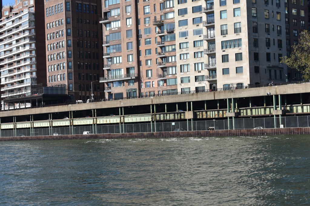
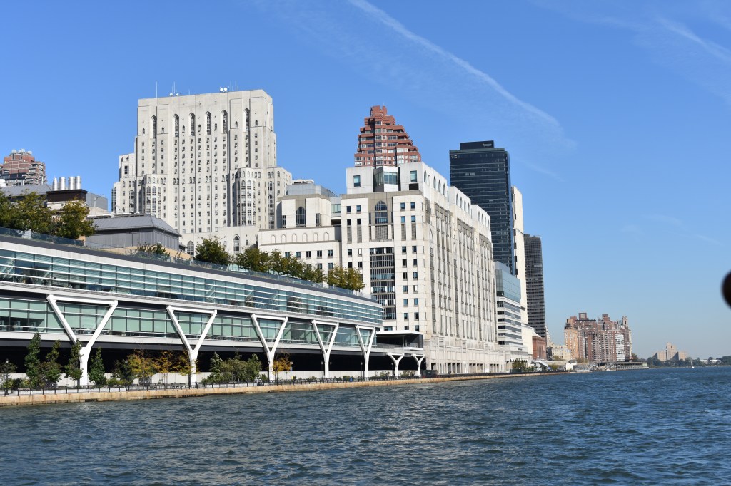
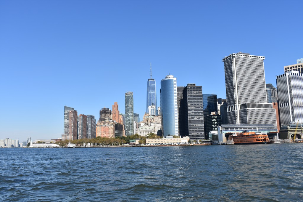
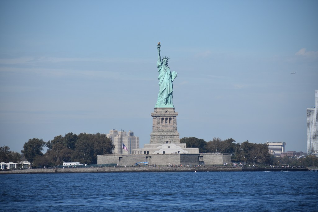
Lots of interesting things to see along the East River. The water is deep right up to the streets and buildings at the shore. With all the pedestrians I was at times able to prove that Andante actually moves at a walking pace. If you ever wonder whether New Yorkers care about climate change, consider that the FDR is just below the level of the river with only a tiny seawall protecting a major Manhattan artery. New York Hospital is where my parents worked when we lived in the city. The UN was not in session so we were able to pass very closely. During major events vessel traffic is re-routed around the other side of Roosevelt Island for security.First glimpse of Ms. Liberty from under the Manhattan and Brooklyn Bridges. I learned that a sailboat is not the best camera platform. More than half the photos I took have some bit of rigging in the picture, sometimes faking out the autofocus. This one isn’t too bad.Freedom Tower from under the Brooklyn Bridge.The Battery and the Staten Island Ferry terminal. The East River is to the right, the Hudson on the left.I was able to get right up to the buoys marking the restricted area around Liberty Island. This was probably the busiest area of the harbor with all the tugs, tour boats, ferries, kayakers (really) and helicopters. The helicopters didn’t impact my navigation but there sure were a lot of them.
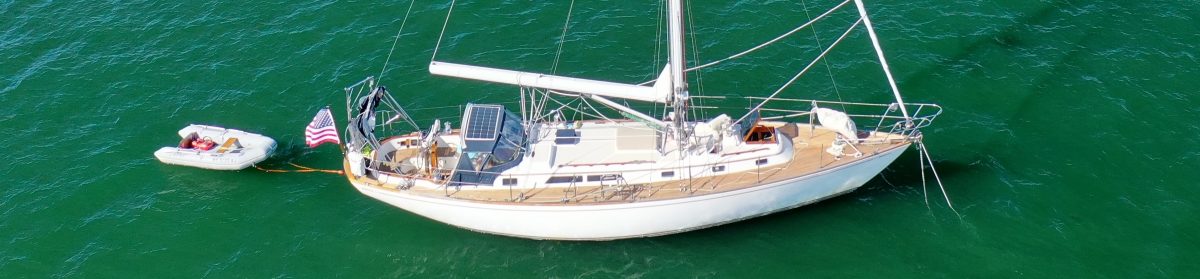
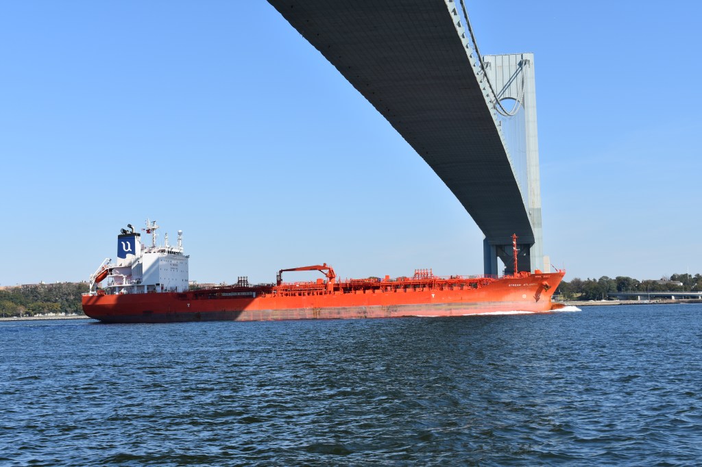
Beyond the harbor is the Narrows and the Verrazzano Bridge. Its an impressive span – it was the longest in the world until the 1980’s. Its also quite tall so that both Andante and larger vessels can pass easily. Every time we go under a bridge I look up and wonder just a little if we’re going to fit. The mainsail was hoisted with the equivalent of two reefs. The sail was just providing a little extra thrust and stability as we motored through the choppy harbor.
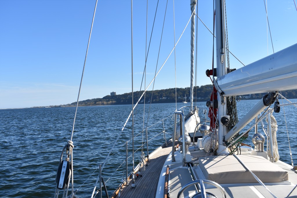
Our day ended near Sandy Hook in Atlantic Highlands, NJ. I think highlands may be overstating it a bit as the hills are pretty modest. But I read that this is the second highest spot on the Atlantic coast after Maine so I guess it is deserved. In any event, the man-made harbor is cozy and well-protected and has services like fuel and water that I’ll need before moving on.
I really looked forward to this leg of the trip. It was very satisfying to both get the logistics of this just right and to enjoy such nice conditions, especially after the past few days in Long Island Sound.
On to the next challenge: Sandy Hook to Cape May. As of right now the weather is looking reasonable for a departure late tomorrow or early Saturday.


Love the photos of New York!!
LikeLike
Those pictures! Seems you are doing a tour of the Northeast Fisheries Science Center facilities…Milford then Sandy Hook. Miss you lots!
LikeLike