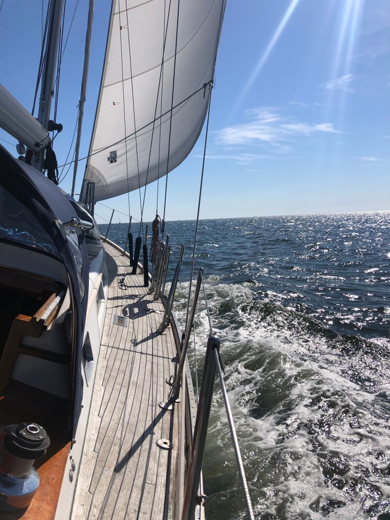
Its Friday. We’re on the mooring in Buzzards Bay and its cold and windy. So why not bake a pizza?
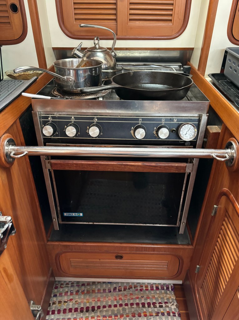
Andante’s original-equipment propane-fired oven is low-tech (no thermostat) and poorly insulated. But it gets the job done under some crazy conditions and still cooks better than our fancy oven in the dirt house. Go figure.
Step 1: Make the dough. I did this earlier this afternoon using a recipe that has worked for me for many years. It is arguably better if you swap half the regular flour for 00 pizza flour. But I don’t have that. And it will still be great.
I do have: 3 cups flour, 2 teaspoons salt, 1 teaspoon sugar. 1 packet (2.25 teaspoons) yeast. 1 cup water. 1 bottle red wine. Mix it all together (except the wine) as best you can in a large bowl. When dough-like, knead until smooth, keeping it in the bowl if possible to avoid a mess. Form into a happy ball, coat in olive oil, and place back in the bowl under a towel to rise for an hour or two (or three, if its cold like it is here today.) Then divide into two balls and (if you are me) freeze one for later.

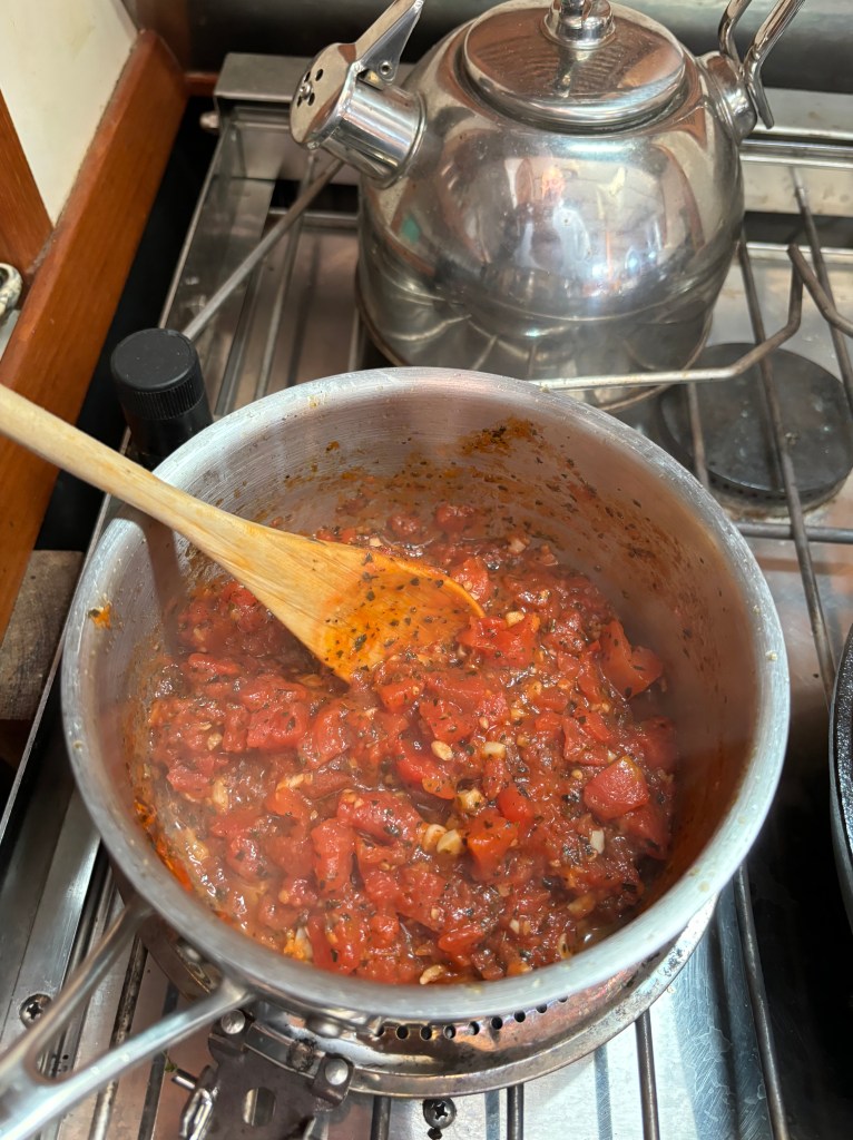
Step 2: Make some sauce. I made a simple marinara with garlic sauteed in olive oil, basil, oregano, red pepper, and a small can of diced tomatoes and cooked it down for about 30 minutes.
Step 3: Preheat the oven. It should be as hot as you can get it. On Andante that is just over 400 deg F and it takes a solid 30 minutes to reach that temperature. In a dirt house you could easily reach 500 F. Whatever. You’ll be watching closely to see when your pizza is done and a hotter oven will just get you there faster.
Step 4: When the oven is almost hot, preheat your cast iron skillet on medium-high heat on the stovetop. For 5-6 minutes. Until really hot. Turn off the stove. Swizzle a generous amount of olive oil in the pan and maybe use a bit of paper towel to wipe the oil around and be sure it coats the whole thing.

Step 5: Quickly, form your happy dough ball into an approximate pizza shape by pulling and stretching as needed and then plop it in the hot pan. Carefully, without searing your fingertips, press around the edges so the dough mostly fills the pan. It will probably be making attractive sizzling sounds at this point.

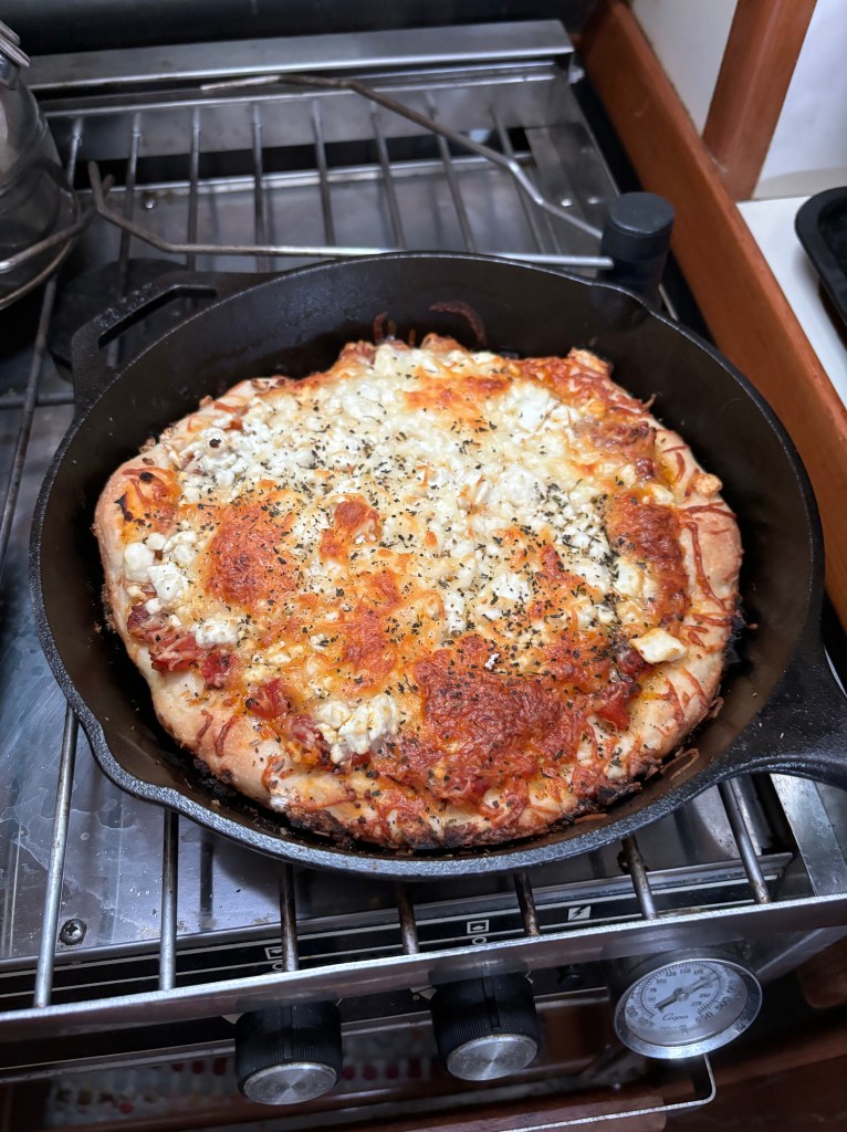
Step 6: Toppings. With no delay, spread your sauce and whatever pizza toppings you prefer on the dough. I used mozzarella, feta, romano and parmesan cheeses. No animals died for my pizza. But several were thoroughly squeezed.

Step 7: Bake that thing. Carefully put the freaky hot pan in the oven and let it cook until the top is brown and bubbly. That should take between 10-15 minutes.

It may not be Food & Wine attractive but the end result is perfectly acceptable after that bottle of wine. And the crust is nicely browned and crispy. Who needs anything else on a Friday night?

Except maybe another bottle of wine.
Enjoy your weekend.