A long, narrow and shallow week on the ICW
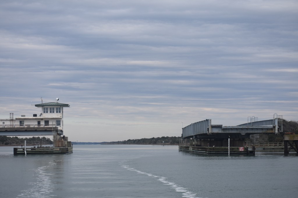
From southern North Carolina into South Carolina the ICW is extremely narrow with many areas of severe shoaling. Driving this stretch required a lot of concentration to keep Andante in the center of the channel and out of the mud. And we’re definitely driving and not sailing. There have been a few rare occasions to hoist a sail and gain an extra knot of boatspeed (and a smile) but the engine is on all day long.
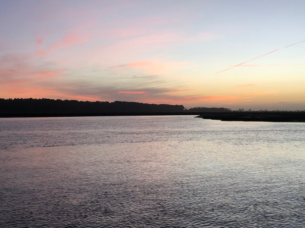
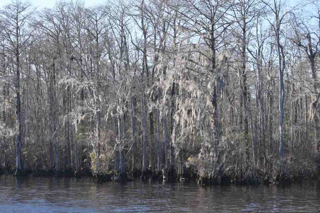
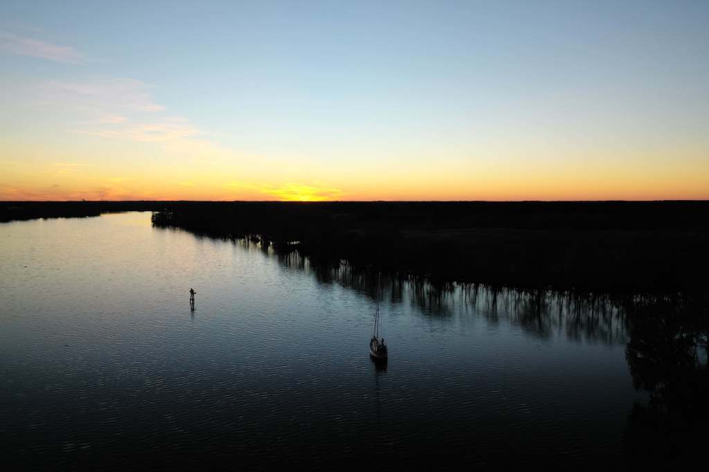
From Camp Lejeune we pushed south with brief overnight stops in Wrightsville Beach and then Southport where we loaded up on fuel, water and some fantastic shrimp and grits. The next day we weathered a gale in the marshes of Little River Inlet, SC before continuing on past Myrtle Beach and into the amazingly beautiful Waccamaw River. The owls were frighteningly loud but it was too cold to see any alligators. This was definitely one of my favorite overnight stops so far. Probably buggy in warmer seasons so perhaps lucky to enjoy it now.
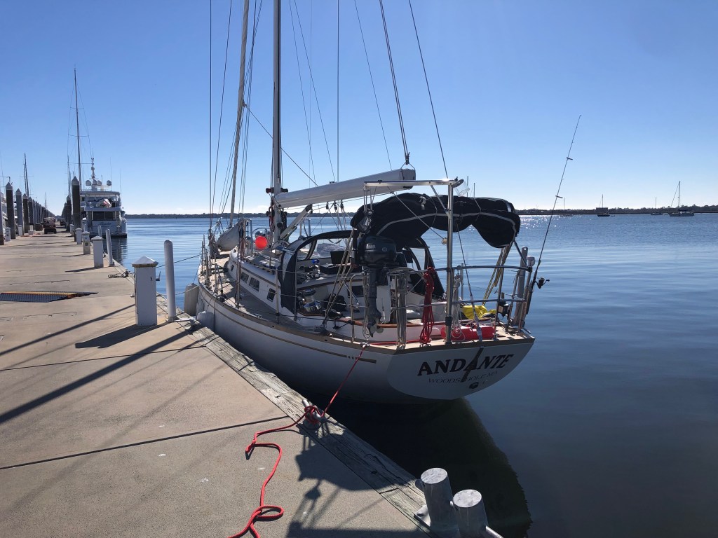
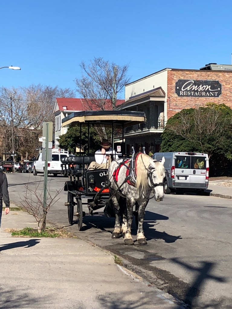
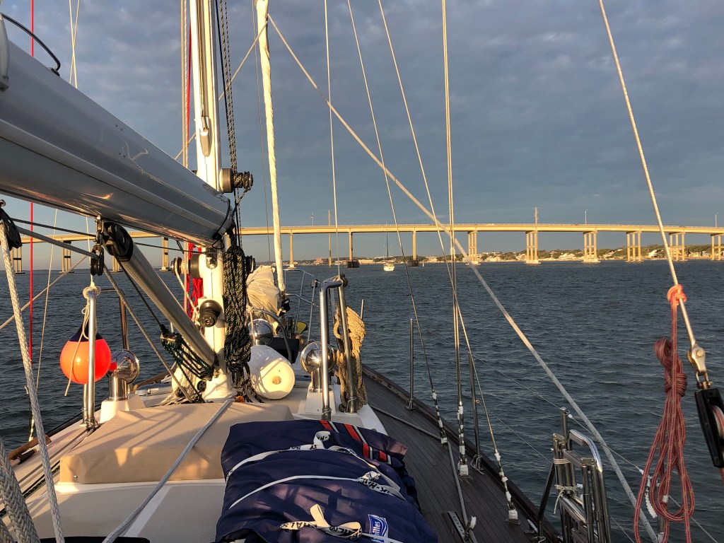
We arrived in Charleston, SC on January 12 and plan to stay here for a day or two until a weather window allows a coastal passage to Georgia. South of Charleston and all through Georgia the ICW is essentially impassable due to shoaling except at mid/high tide. It will be much more efficient (and fun) to sail outside. This short break gives me a chance to top up fuel and water tanks and stretch my legs with walks through the city.