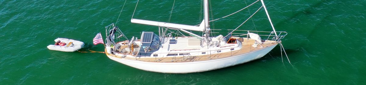
Secluded spots. Strong blows.
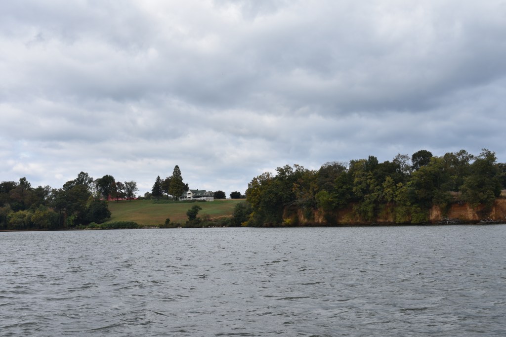
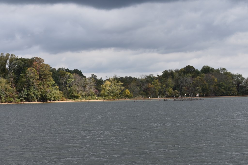
From Chesapeake City we travelled the last few miles of the C&D canal and then south into the Chesapeake Bay and the Sassafras River on Maryland’s eastern shore. We found a nice anchorage in a river bend protected from the strong northeast and northwest winds, set out almost 250 feet of chain, and hunkered down for a big blow. The Coast Guard was repeating gale warnings on the VHF every 20 minutes or so and advising small boats to take shelter. When it blew, it blew hard for about 36 hours with wind exceeding 42 kts. Andante rode it out well while I read a book, reorganized some lockers and drank a lot of coffee.
Editorial note: While I can write and sort photos anywhere, the software I’m using for this blog (WordPress) requires an internet connection to actually construct and publish the posts. The Sassafras River is remote with limited cell service and it wasn’t possible to upload photos and such. There will be days like that. Thanks for your patience.


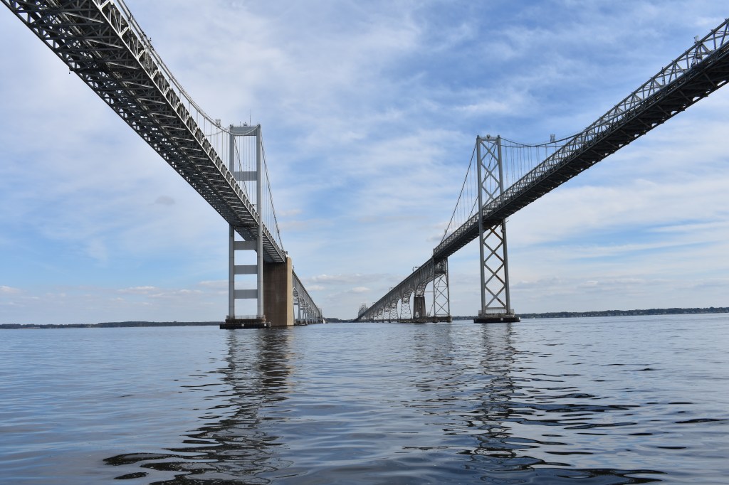
From the Sassafras we continued south Thursday towards the Bay Bridges and Annapolis. Yet another big storm was anticipated for Friday. We made good time and passed under the bridges shortly after noon.

Although I had been looking forward to spending an evening in Annapolis I was NOT looking forward to being forced to sail in strong winds and driving rain the next day. We’re expecting some family to visit us at a marina about two hours south on Saturday. Getting stuck in Annapolis was not really an option. So we pressed on for another few hours to the little town of Galesville on the West River – where my parents had kept our family’s boats for many years when I lived in the area.


We had just secured ourselves on our mooring when the wind started to pick up. Thursday night it was windy and a little rainy. Its now Friday evening as I’m writing this and its still blowing 25-35 kts and raining extremely hard. And last I checked the docks at the marina were all underwater — glad I opted for a mooring. Since there was nothing to be done outside I spent today changing the engine oil, oil filter and transmission fluid. Its easiest to do these sorts of jobs at a location (like this marina) that accepts waste oil. And has a laundry facility for afterwards. I guess that’s a job for tomorrow morning.
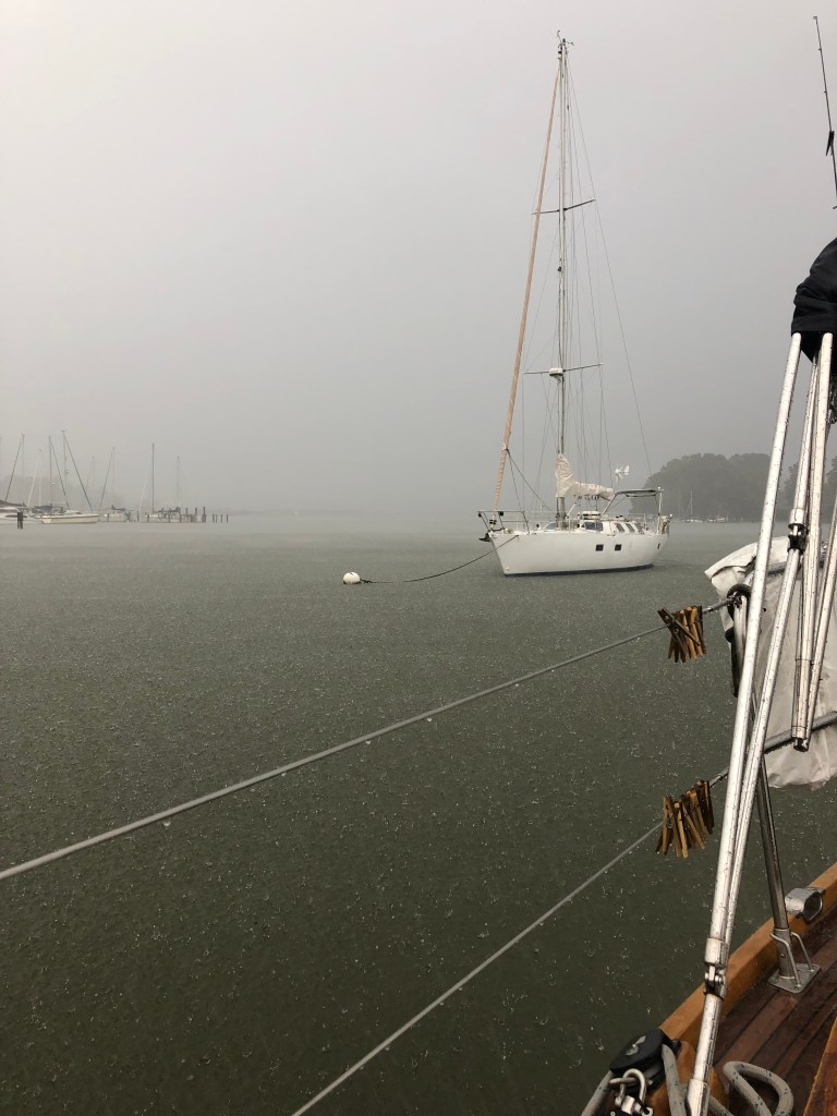

Radar suggests the rain will taper off soon and the forecast is for pleasant conditions tomorrow for family visits. While the laundry is sloshing I’ll give the boat a quick clean to make it presentable for guests. At least I don’t need to worry about rinsing the salt off the deck…

Have fun with your family tomorrow, Dave. Great photos! Hope you have some good weather as you travel south.
LikeLike
The Nors! Was that the catamaran we saw with the boards and toys at Hartge’s? Wearing their marriage savers. That still makes me giggle. Such a great visit we had. It makes me even more excited to actually sail on that girl of yours. Safe travels!
LikeLike